From Wheat Ridge, Denver and other points east, you can ride your bike all the way to Golden on the Clear Creek Trail. It's an easy ride, and even easier going back. Click on any picture to see an enlarged view.
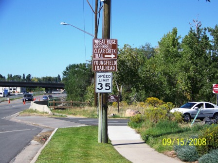
Take the Clear Creek Bike Path or drive to the Youngfield Trailhead on the east side of Youngfield Street in Wheat Ridge, just north of Casey RV Center.
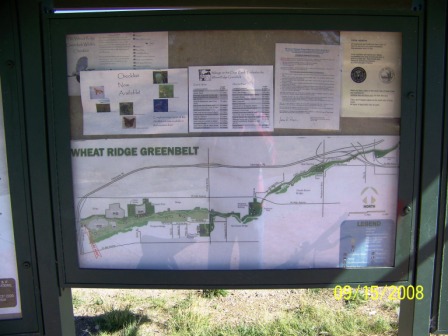
There is a map of the Clear Creek Trail in the Parking Lot, for reference.
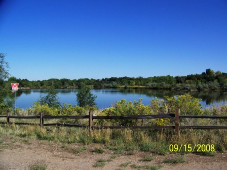
... and a pretty lake at the end of the parking lot.

From the parking lot, ride west along the bike trail that runs along the north side of the parking lot, and go under Youngfield Street and Interstate Highway 70.
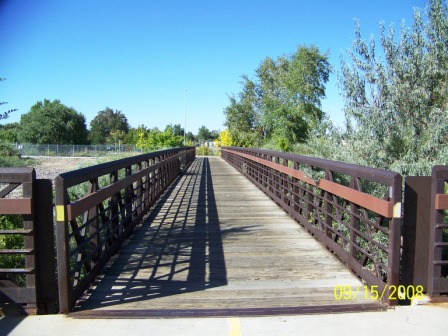
At 7/10 miles, you'll turn right to cross a bridge over Clear Creek.
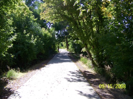
You'll turn left at the end of the bridge and ride along gentle ups and downs through the trees .. .
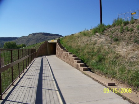
. . . until you come to a tunnel under McIntyre Street at the 2.0 mile mark.
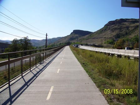
Just about here you'll pass the Coors sewage treatment plant. No need to check your odometer - you'll know you're there but you'll pass by it quickly on the level path.
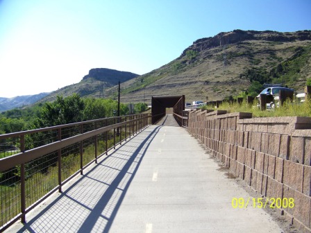
At the 3.2 mile mark, you will start the only difficult climb (just think how much fun this will be on the way back) and over a bridge. It looks hard, but it only lasts 3/10 of a mile.

At the top, you can look left at South Table Mountain . . .

. . . or right at North Table Mountain.
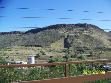
Here's another view looking left at the 4.6 mile mark.
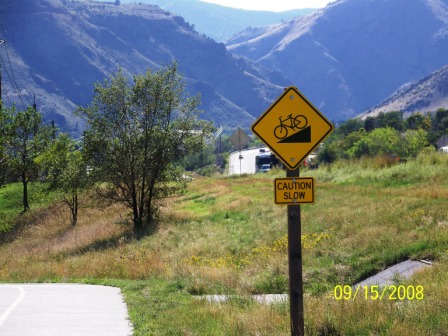
Soon, a sign lets you know that it's all downhill from here. Wheeeeeee!
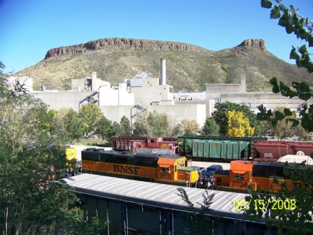
There are trains to see in the Coors switching yards.

At the 4.9 mile mark, you'll come to the Tucker Gulch Trail. There's a sign there. Take a hard left to go downhill.
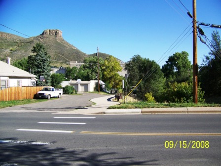
The bike path will lead you down to 10th Street (Tucker Gulch will be on your right). At 10th, cross the street and pick up the trail on the other side.
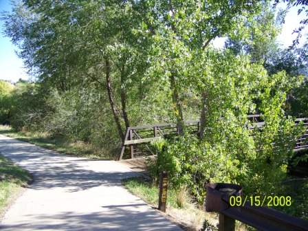
When you come to a fork (at 5.2 miles), take the right fork over another bridge.
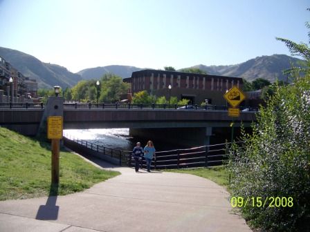
Bear right to go under Ford Street.

At 5.4 miles, you can go either left (up) or right (down).
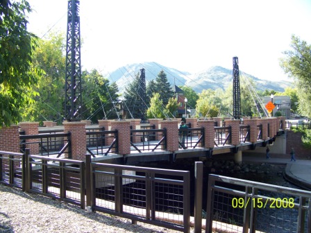
If you go left, you'll come to Washingon Avenue. Just cross the street and cross the bridge (or vice versa), and you are in front of the Golden Visitors Center . . .
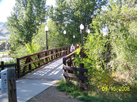
. . . but you'll enjoy it more if you go right, under Washington Avenue, past the Clear Creek History Park, which will be on your left, and over Clear Creek at the foot bridge 2/10 of a mile past Washington Avenue. After you cross the foot bridge, turn right and backtrack along the other side of Clear Creek to the next fork in the path.
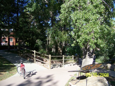
Take the left fork . . .
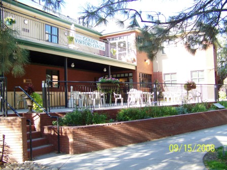
. . . and there you are at the back of the Golden Visitors Center, looking at the comfortable terrace. Park your bike, and go on in.
